
Reframing Power: Perspectives from the Flying Labs Network
April 8, 2024
Flying Labs share their perspectives on power in a profound demonstration of what we mean when we say the “Power of Local”.
February 4th, 2020

By Sikem Brice, Unusual Solutions Finalist
Recent trends in climatic conditions have had a bearing on the severity of natural disasters in many parts of the world. Floods and droughts are the most common types, frequently battering much of Northern Cameroon. Mayo-Danay, a division in the far northern region of Cameroon, is one of such areas overwhelmed with widespread events of droughts and floods. Local populations often victimized by these extreme weather events lack an understanding of trending climatic issues and are often left unprepared at the misery they bring. Lack of appropriate data communication tools is a factor in the failure to foster necessary awareness that develops responsive emergency services and mitigation schemes to confront the effects of climate change.
Harnessing drone data to respond to this knowledge gap by interpreting drone imagery coupled with inputs from other data sources will go a long way to boost climate and environmental consciousness.
You cannot overemphasize the relevance of drones for monitoring and collecting environmental data in Mayo-Danay. Drone-sourced data reveal vital information on the state of the environment and its vulnerability to climate disasters based on observed features and studied climatic trends. Analyzing and interpreting such data into comprehensible formats is vital for building awareness on environmental issues amongst residents and providing stakeholders with the necessary tools for informed decision-making in addressing the impact of climate change.
The principal aim of our project is to interpret and convey drone and satellite data about environmental issues and the prevailing or possible climate disasters to residents through SMS, interactive phone calls, and radio programs. Based on data collected via ground and drone survey, disaster maps can be developed and made available to stakeholders. This data will enhance their capacity to effectively mitigate climate change events while activating emergency facilities to contain the impact.
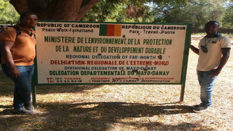 Posing in front of the Environment & Nature Protection Office during an outreach campaign
After a successful outreach and promotion campaign of our intended services, an SMS messaging system is in place through which subscribers are regular texted environment and weather data of Mayo-Danay. Weather and environmental data obtained from the national meteorological service and the delegation of environment and nature protection in Mayo-Danay are simplified into text messages and communicated to subscribers. Additionally, a helpline is available through which locals can call for queries on environmental issues.
Our journey to establish a comprehensible climate and environmental data delivery service have met several challenges, from a timid subscription to our SMS services, to receiving phone calls in regional dialects. However, publicity is playing a crucial role. Increasing awareness through pervasive radio advertisements is shifting the tides to our favor. Recently, we have witnessed a jump from 32 SMS subscribers to 147, and maintaining this upward trend is a priority.
In the meantime, team members are getting abreast of drone skills necessary to carry out successful fieldwork. Training on drone piloting and processing of drone data is paramount to collect and visualize data into intended to create disaster maps. The fieldwork phase involving drones is slated for early January, during which images of digital ground elevation, flood plains, and land use assessments, amongst other features, will be acquired, processed, and translated into maps for key stakeholders by the end of January. To produce drought maps, soil, localized water table fluctuations, vegetation cover, amongst other factors, have to be analyzed. The month of March and April are ideal for carrying out such activities as they record the driest and highest temperatures during the year for this area. This will ensure that maps correctly project the intended drought data.
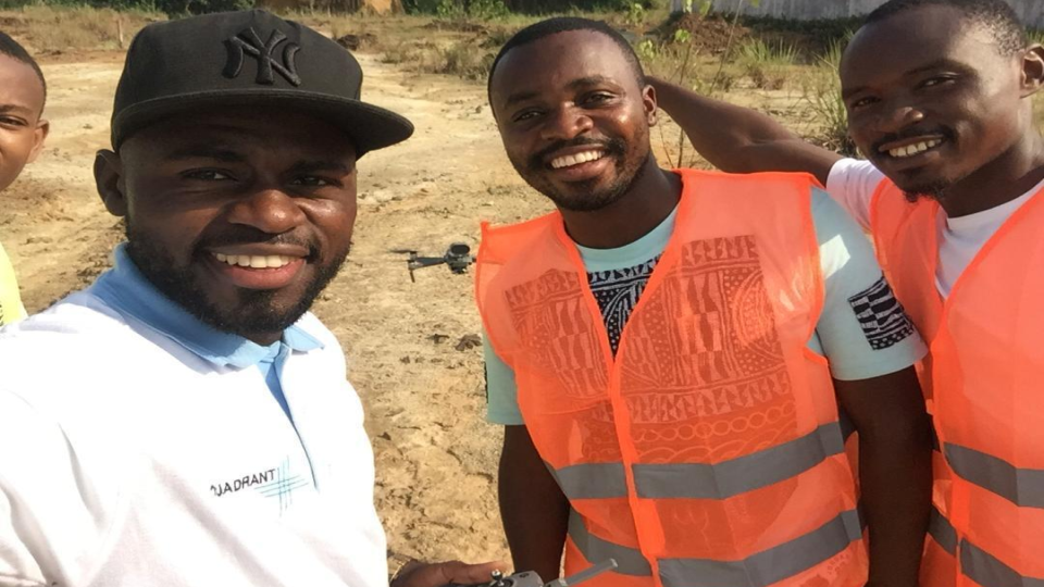 Drone pilot training by Cameroon Flying Labs
The call to action on climate change is now, and it is urgent. Local communities who often are most vulnerable to the effects of climate change have to be adequately educated on these climatic trends and accompanied by data that permit them to review their environmental actions, develop mitigation schemes and improve their emergency facilities.
