Humanitarian Drones Experts Meeting: Insights & Next Steps
May 22nd, 2018

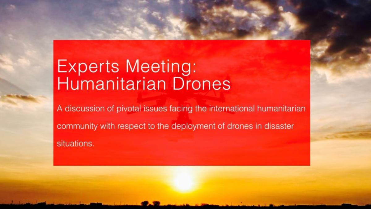
Thanks to our partners swissnex Boston and Solve at MIT, we recently organized a full day experts meeting on Humanitarian Drones to tackle some of the pressing challenges in this space. The meeting was held at the Swiss Consulate in Boston, situated between MIT and Harvard University. We reviewed the existing Humanitarian UAV / Drone Code of Conduct (UAVcode) in light of recent developments regarding the use of drones in conflict zones and for cargo delivery. We also reviewed the Code of Conduct in light of the growing use of artificial intelligence and machine learning to analyze aerial imagery, which raises a number of important concerns. These discussion threads around the UAVCode comprised the morning session of the experts meeting while the afternoon session was entirely geared towards tackling challenges around the use of artificial intelligence to assess disaster damage for drone imagery. Both sessions brought together leading experts from different disciplines to wrestle with these growing challenges. International humanitarian organizations, universities, government and industry were all represented in the meeting. Several experts also joined us remotely to present their work as related to these challenges.

Next Steps on Code of Conduct
Based on the very fruitful and insightful discussions around UAVCode, there was strong consensus that the Conflict Sensitivity Guidelines associated with the Code of Conduct needed to be updated by referencing newly established guidelines from the International Committee of the Red Cross (ICRC) and other related documents. For instance, whereas in 2015 and 2016 the prospect of small UAVs being used as tools of conflict in unconventional warfare was mostly a theoretical exercise, there are now several real examples of exactly this application of the technology.
We also discussed the importance of clearly marking humanitarian drones to distinguish them from drones being used for military purposes or terrorism. This point had already been noted in the 2014 UN Policy Brief on humanitarian drones. While participants recognized that a drone being used for terrorism could just as easily be marked as drone being used for humanitarian efforts (in violation of international humanitarian law), the importance of marking humanitarian drones is still necessary. On this note, we also discussed the use of unmanned air traffic management technologies to deconflict between different types of drones and flight purposes. Protocols on retaining versus destroying aerial data in conflict zones were also discussed; recognizing the tension between the importance of data security versus historical preservation of potential mass atrocities.
Participants stressed that the use of humanitarian drones in conflict zones to collect data should never be done covertly as doing so would be no different than spying. The Guidelines on Data Management likewise need to be refreshed with more detailed protocols on sharing with third-parties, data-reselling, demographically identifiable information and encryption. Data Management Guidelines require specific protocols on the use of artificial intelligence vis-a-vis bias and discrimination, amongst other emerging issues.
The need for guidelines to inform cargo delivery in humanitarian and public health contexts was also discussed at length. These discussions were informed by this previous Experts Meeting co-organized by WeRobotics, which focused exclusively on cargo drones. Participants expressed a sense of urgency in needing to develop appropriate guidelines for humanitarian cargo delivery. Protocols already exist for the packaging, loading, transportation and unloading of dangerous substances (such as patient samples in Ebola affected areas, for example). As such, the UAVCode guidelines need to point to these existing standards.
An interesting discussion evolved in the cargo discussion around the cost of cargo drone deliveries and whether high cargo drone costs should invalidate the use of drones for cargo delivery. Seasoned humanitarian professionals at the meeting made it clear that in terms of ethical practice, the last mile cost to serve the most remove and vulnerable populations should not be the deciding factor in terms of whether or not to use drones. The most vulnerable are by definition the most expensive to reach. Participants also argued that costs of cargo drones were going to be decreasing in any event, and that there was significant value in starting now in early stages to work with cargo drones in humanitarian response to better understand the opportunities and challenges which will be sure to emerge over the coming years. Given recent reports of cargo drones crashing in both Senegal and Malawi, the importance of documenting these incidents was clearly articulated, including the need for development of a standard critical incident reporting protocol. It did not go unnoticed in that sense that the recent crashes in Senegal and Malawi were never reported by the drone companies running the cargo flights.
In addition to the need for revising some of the existing guidelines and adding entirely new guidelines, there were extensive discussion on the core document of the Code of Conduct itself. For example, participants argued that specific language around “Duty of Care” and “Duty of Need” should appear prominently in the Code of Conduct. Furthermore, it was stressed that the protocols in the Code of Conduct should never be sidelined because of the urgency around a humanitarian emergency. Concerns over corporate actors in the drone industry were also raised. These companies have more and more control over how their drones can and cannot be used. For example, several participants noted how DJI drones could not be used after major disasters because of geofencing imposed by DJI. As such, a high level convening of the leading drone companies was proposed.
In closing, the open, multi-stakeholder approach that has driven the development of the Code of Conduct since 2014 was highly commended by participants who also strongly encouraged that the process remain fully open. As such, we will be sharing the above insights with the broader humanitarian drone community (e.g., the 3,000+ members of the Humanitarian UAV Network) and inviting this community to recommend updates to the Code of Conduct and associated guidelines.
Next Steps on AI and Big (Aerial) Data
We kicked off this session with a presentation on lessons learned in the deployment of humanitarian drones since 2013. This included the key gaps we identified during the humanitarian drone simulations we ran with local and national stakeholders in Peru, Myanmar, Malawi, Mozambique and the Dominican Republic in 2017. Time and time again since 2013, one of the biggest challenges and hurdles to coordinate a successful humanitarian drone mission has been Big Data. A single 20 minute drone flight can capture some 800 very high resolution images, and research has shown that manually analyzing this volume of images would take 6 hours. Following Cyclone Pam in Vanuatu, well over 100 drone flights were carried out to quickly assess the disaster damage. It would have taken 25 days of non-stop manual analysis to make sense of the resulting imagery. In short, new methods are needed to automatically analyze aerial imagery or disaster areas. Otherwise, there is little point in flying the drones in the first place. This explains why WeRobotics recently launched the Open AI Challenge in partnership with the World Bank and OpenAerialMap.
The opening presentation by WeRobotics was followed by a round of lightning talks that included presentations from DataKind, QCRI and Simon Fraser University. A very fruitful and engaging discussion ensured following the presentations. These resulted in a number of important recommendations. The need to provide data scientists with a large and annotated dataset of aerial imagery was highly recommended more than once. This would serve to help catalyze more applied research within the computer vision community. On a related note, several existing datasets of aerial imagery (from manned helicopters and other aircraft) were referenced along with various different communities engaged in these research efforts.
Several key points were made on the less than perfect accuracy of machine learning classifiers for aerial imagery. It is well understood that aerial imagery presents non-trivial challenges for machine learning given that said imagery can be taken at different times of the day, at different altitudes, different angles and with different cameras and sensors. That being said, one participant noted that the risk of having less than perfectly accurate classifiers must be weighed against the need for some automated analysis. An example from the most recent Open AI Challenge was highlighted, namely in the automated counting of coconut trees to assess food security before and after cyclones in the South Pacific. Even if the classifier miss-labels 15% of the coconut trees, 85% accuracy still represents “good enough” analysis for a wide range of information needs in humanitarian efforts. Another important suggestion was made around labeling classifiers as high or low risk depending on their potential nefarious uses.
The final topic of discussion during the AI and Big Data session focused on developing practical workflows for the rapid deployment of AI solutions during humanitarian crises. “If a major disaster happens tomorrow, do we as a community of practice actually know how we’ll collaborate to quickly analyze aerial imagery of the affected areas?” This driving question resulted in strong convergence around the use of crowdsourcing combined with machine learning to rapidly detect features of interest in aerial imagery. WeRobotics and in particular the Flying Labs and their partners will provide the aerial imagery of disaster areas to OpenAerialMap, which will add this imagery to their platform and mobilize volunteers from the Humanitarian OpenStreetMap community to quickly create the training data needed by data scientists from Simon Fraser University and QCRI to quickly develop the machine learning classifiers to automatically analyze the imagery. The latter research institutes would be members of a Roster of Data Scientists that can provide the surge capacity needed during disasters to develop the classifiers in a timely manner. The results would then be communicated back to WeRobotics and their humanitarian partners.
As a first step in implementing these workflows, it was suggested that participants focus on the next Open AI Challenge (to be announced in June) as a “slow motion” exercise to create and work through the different standard operating procedures to rapidly deploy AI solutions during humanitarian drone missions.
Acknowledgements
Many thanks to Swissnex Boston for very kindly hosting the experts meeting and to Solve MIT for co-convening this important meeting with WeRobotics. Special thanks to everyone who participated in the discussions for their important contributions and insights. This experts meeting was one of the most fruitful and timely meetings we’ve had on the topic of WeRobotics. We’ll be making videos of the presentations available online in coming weeks thanks to Swissnex. We also look forward to engaging the broader community on both the Code of Conduct and on solutions to Big Data challenges.
Recent Articles

