
Breaking the Language Barrier: WeRobotics Partners with Beluga Linguistics...
April 23, 2024
With language localization, the Flying Labs Network will now step into a more interconnected and inclusive future.
October 17th, 2017

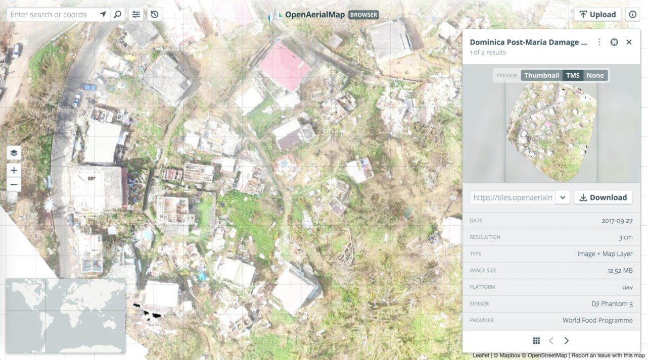
WeRobotics and WFP have been coordinating drone teams since September to map the Caribbean countries devastated by the recent hurricanes including Barbuda, Saint Martin, Dominica, and Puerto Rico among others. The resulting drone imagery, available on OpenAeriaMap, plays an invaluable role in supporting the recovery efforts across the region. As these efforts will continue for many more months, we welcome regular imagery updates from qualified drone pilots. Said pilots must follow the code of conduct for humanitarian drone missions in addition to aviation regulations in the Caribbean.
The repository of aerial imagery can also be used beyond the current response efforts to train machine learning classifiers for automated feature detection. To be sure, the application of artificial intelligence and computer vision would greatly accelerate imagery analysis during future disasters in the region. WeRobotics is actively exploring this area of applied research.
Join the conversation!
![]()
![]()
![]()
